"Informed AI News" is an publications aggregation platform, ensuring you only gain the most valuable information, to eliminate information asymmetry and break through the limits of information cocoons. Find out more >>
Google Maps Enhances Navigation for Indian Roads
- summary
- score
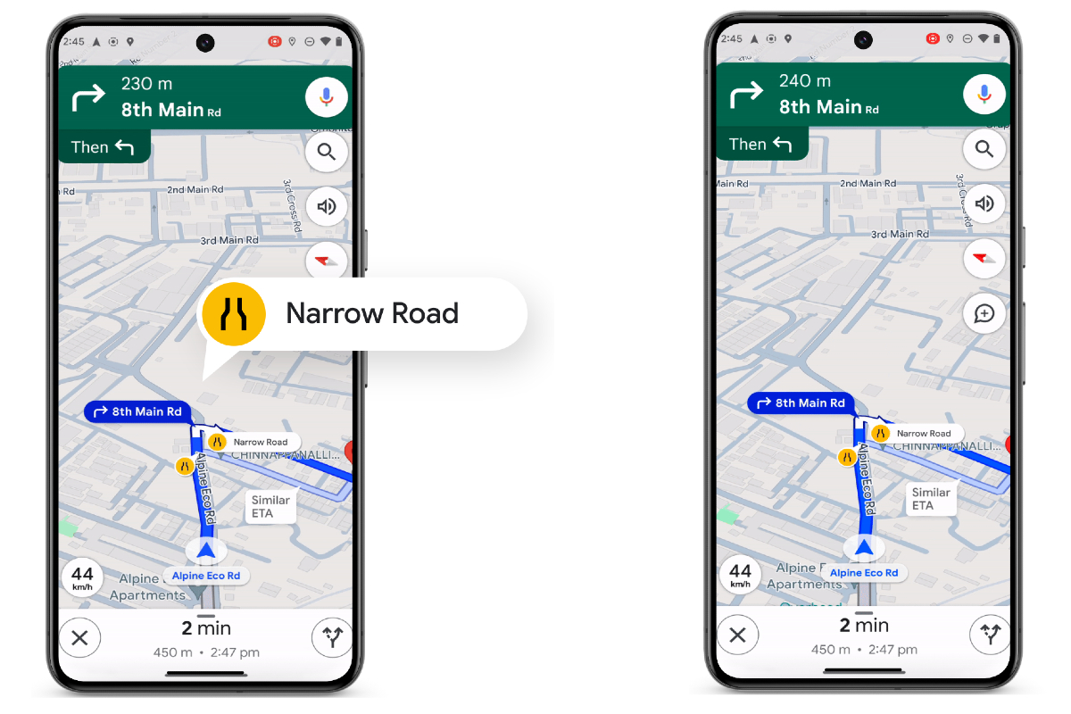
Google Maps is updating for India. New AI helps drivers avoid narrow roads and tricky flyovers. It uses satellite images and Street View to judge road width and obstacles.
For cars, bikes, and walkers, Maps now shows safer routes. It warns if a narrow road is unavoidable. This feature starts in eight cities on Android, then iOS.
Flyover instructions are clearer now. Instead of "take a ramp," Maps says "take a flyover." This helps in 40 cities for cars, bikes, Android, and Android Auto. Apple’s CarPlay gets it soon.
EV charging stations are listed too. Over 8,000 stations show plug types. This includes two-wheeler chargers, important in India.
Google Maps partners with Namma Yatri and ONDC for local transport bookings. Metro tickets in Kochi and Chennai are available via Maps. More cities and transport options are coming.
Google’s "Where is my train?" app tracks trains and has over 100 million users.
Community features help users find top spots and report road issues easily. Lists for best cafes and breakfast places are now in major Indian cities.
| Scores | Value | Explanation |
|---|---|---|
| Objectivity | 6 | Balanced reporting with comprehensive analysis. |
| Social Impact | 4 | Influences public opinion on navigation tech. |
| Credibility | 5 | Solid evidence from authoritative sources. |
| Potential | 5 | Likely to trigger significant changes in navigation. |
| Practicality | 5 | Widely applicable in real-world navigation. |
| Entertainment Value | 3 | Somewhat entertaining for tech enthusiasts. |